
Site Type |
Direction |
Rating |
Take off Altitude |
|
|
|
|
|
preferably
organise your first flight with a club member who has good knowledge of this site.
This site is privately owned, so is sensitive and could easily be lost.
Contact local pilots in Geraldton before heading up there to get an update on current access situation.
The site is on Chapman Road about 5km out of Geraldton. There are two gates
opposite each other. The one on the left has a box just inside the gate and
leads to the NE and SE sites. The one on the right has a box, two gates in and
leads to the westerly site. The book inside the box is for your name, HGFA number
and date. You must register to fly this site. 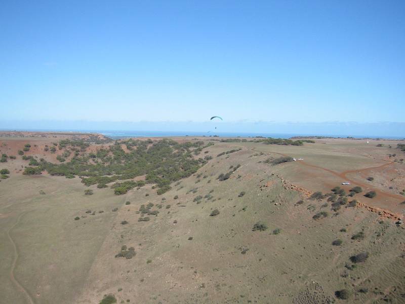
Parking .There is no problem with parking for lots of cars
Camping No camping
 large
rotor.
large
rotor.
Site Type |
Direction |
Rating |
Take off Altitude |
|
|
|
|
615ft AMSL |
 preferably
organise your first flight with a club member who has good knowledge of this site.
This site is privately owned, so is sensitive and could easily be lost.
preferably
organise your first flight with a club member who has good knowledge of this site.
This site is privately owned, so is sensitive and could easily be lost.
Contact local pilots in Geraldton before heading up there to get an update on current access situation.
Entry via farm. All pilots must sign the disclaimer in the farmhouse and the the first pilot there and the last to leave each day must drop into the farm and let them know what's happening.
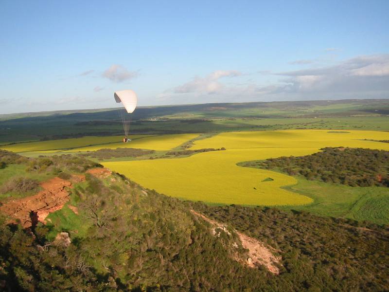
The site is about 17km NE of the Chapman Rd turnoff from Geraldton. 
Site Type |
Direction |
Rating |
Take off Altitude |
|
|
|
|
|


Contact local pilots in Geraldton before heading up there to get an update on current access situation.
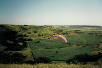
The site is on Chapman Road about 5km out of Geraldton, opposite Wozzas Knob.
Flying: top and bottom landings.500ft-height restriction applies. Site is directly
under landing approach for airport. There is a droppable section of the wire
fence at launch to facilitate safe launching and landing. Despite proximity
to the coast this is an inland site subject to thermal turbulence, and needs
to be respected. XC record is over 100km to Moora.
Site Type |
Direction |
Rating |
Take off Altitude |
|
|
|
|
|
 after.
Its about 20km from here on the last rise before you head down to Horrocks itself
that you make a right turn on to a limestone track. This extends about 8Km then
makes a left turn which stops at the take off site.
after.
Its about 20km from here on the last rise before you head down to Horrocks itself
that you make a right turn on to a limestone track. This extends about 8Km then
makes a left turn which stops at the take off site. 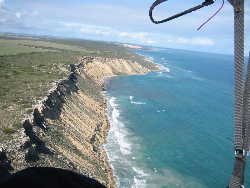
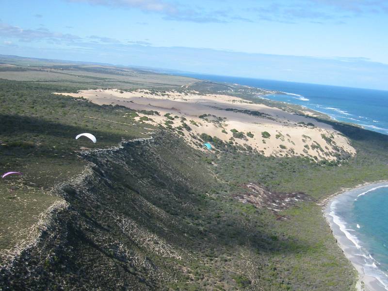
Safety. Horrocks has a ridge that runs for more than 15km north and
on the right day this an excellent site, but like all ridges you have to be
aware that if the direction is slightly off, you may not get back to where you
started. If the wind drops you will find you self scratching.
The beach landing is plentiful near takeoff and although very bushy in places
is not short of top landing spots which beats climbing back up the ridge. The
beach is accessible by 4WD from Horrocks town, a long way round, but may be
useful for hanggliders if they bomb out.
Several kilometres north are some sections with no bottom landings. At the
north end of the ridge is the town of Port Gregory, but in between there are
no roads nearby. Good safe coastal ridge. If wind is S there can be turbulence
behind the peninsula on to the left of or on the take off area, a safer launch
can be found in these conditions by walking north along the cliff tops, but
it would probably be better to go and fly Mt Rennie.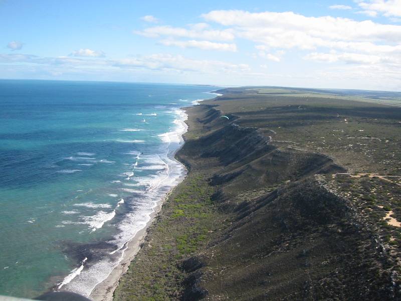
In a NW wind you can fly the sand dunes south of launch. The long main ridge
is best in a SW wind. The ridge shape produces plenty of lift and can be soarable
with as little as 6 knots of wind on take off.
Site Type |
Direction |
Rating |
Take off Altitude |
|
|
|
|
|
 you
will find Lynton Farm farmstay and some convict ruins.The site is private property,
get permission from the owners before flying, try to stay in their accomodation
if possible.
you
will find Lynton Farm farmstay and some convict ruins.The site is private property,
get permission from the owners before flying, try to stay in their accomodation
if possible.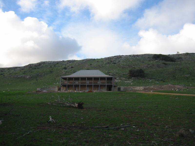 .
.
The site is inland but very close to the coast, so almost a coastal site. Large
grassy takeoff and landing areas. There is a possiblity of thermal activity
and associated turbulence. It is possible to fly here from Horrocks on the right
day.
Site Type |
Direction |
Rating |
Take off Altitude |
|
|
|
|
|
Red Bluff offers some bottom landing options but still has a cliff at the final section into water. Other areas have little or no bottom landing, so must only be flown when height can be maintained for top landing. There is a small north easterly ridge at Red Bluff which is just flyable in the right wind, but with danger of going down the seacliffs if blown back.
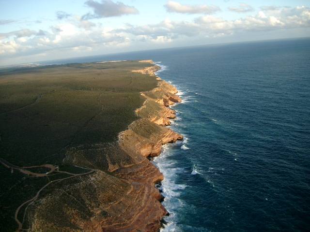
Kalbarri
Site Type |
Direction |
Rating |
Take off Altitude |
|
|
|
|
|
The start north of Kalbarri is a typical sand dune site. The ridge rises as you head north, carrying on for over 100km and becoming the Zuytdorp cliffs, sheer vertical cliffs into the ocean. Obviously the cliff section is not suitable for novices. There is very limited road access between Kalbarri and Shark Bay, expected to have to walk all the way back to Kalbarri if the wind changes. The cliffs have been flown from the north end near Useless Loop, but the launches are very committing with no bottom landing, and reputedly many sea monsters.